
It is important to know that:
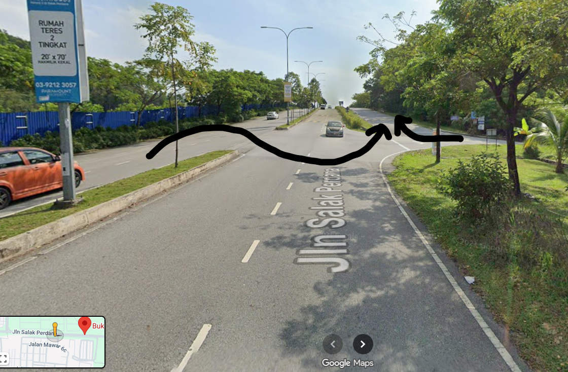
- If you come by car, pay attention to the given coordinates. Drivers please check the coordinates and the route you intend to follow, at least the day before the event to avoid any hiccups. It is not the first time that an app sends a driver to a different location...!
- Park your car along the road, or better on the inner road.
- There are no restrooms in the vicinity.
Bring enough drinks and snacks (carbohydrates). For this trip isotonic drinks are not a luxury and you will need at least 1.5 litres.
We do not have to cross any streams where taking off the shoes is necessary.
If it has rained, it might be muddy here and there. Quite some stretches might be soggy as well then.
Wear shoes with a good profile to prevent sliding. No slippers, no crocs, no shoes or sandals without a proper strap.
There are some sections without tree canopy coverage. Protect yourself against the elements.
We do not hike the rope sections of Bukit 527.
This is a hike which tackles two hills. Be prepared for quite some up- and downhill.
We will hike until Bukit Tunggul, which we will reach via a loop. We will not hike all the way down to the Jenderam car park. We will return to Bukit 527 after reaching the summit of Bukit Tunggul.
We are not hiking the exact same way in and out, so following the gpx file is advised.
We have to hike along the B48 for about 150 metres. The B48 is quite a busy road, so be extremely careful when following and crossing the road.
Bukit 527 and Bukit Tunggul are not connected via a trail. Besides the short stretch of the B48, there are some small kampung roads to be followed. Be aware of cars and motorbikes.
The total distance will be more than 14 kilometres - IBP 78

IMPORTANT: Make sure you have a gps navigation app (like ~in alphabetical order~ AllTrails (paid version), Gaia, Hiiker, Komoot, Maps.me, OSMAnd, Wikiloc,...) installed on your phone and make sure that it is working properly.
If you don't have an app installed yet, we suggest to use OSMAnd or Hiiker to start with. Once you have downloaded the offline map of Malaysia, you can easily import and navigate any gpx file.
See further instructions sub 'How to prepare myself for navigation...?'
Do not come to the venue if you have not installed a gps navigation app at home, or have not downloaded the map of Malaysia at home, or have not opened the test gpx file at home.IMPORTANT: This is a self-guided hike. You will receive a gpx file at the trailhead and you will have to navigate yourself. There will be no paper markers. For those who are not familiar with gps navigation, you will be guided but still have to use your own navigation app on your phone.
The meet-up time listed on the event page is the time that the hike starts. Be sure to reach the meet-up place at least 15 minutes prior to the meet-up time. The last hiker should start the hike before or at 08:00 am.
It is possible to take a shortcut. Consult your navigation app.
Mandatory cut-off time at the car park is 03:00 pm. By that time all hikers should be back at the car park. Otherwise a RM20.00 penalty will be imposed.
Please be responsible and don't litter – be sure not to leave any rubbish along the track.
The mobile number of the event hosts can be found in the carpooling link e-mail.
For safety reasons, make sure you have installed the 'what3words' app in your mobile phone.
The hike will take place unless for any reason your safety cannot be guaranteed.